Biking the Baja Peninsula

Here I will share with you my route, in hope that it may be of use to you. But regardless, if you’re about to cycle the peninsula, you’re in for an incredible ride.
When: November 2018… fall is the recommended time for biking the peninsula as tourism, and traffic are not as crazy as they can be in July and August
How long: 2 weeks if you want to hustle through it, a couple months if you really take your time.
Route: The bike tour route (different from the bike packing route) down the 1 highway
Maps: Google maps - not great, and MapMe - surprisingly accurate regarding food and water stops
Weather: Hot and often windy, but more moderate than Baja in the summer months. It was about a 27 C average

San Diego to Rosarito 53 km
It all starts with crossing the border from San Diego into Tijuana. Don’t make the same mistake we did, and actually get at it as early as possible. Getting across the boarder was fairly straight forward, but took longer than we were expecting (be prepared to unload your bike). Biking out of Tijuana is a cruel awakening. We were leaving behind the comforting roadside shoulders of the Californian west coast and saying hello to the flow of traffic. And believe me, Tijuana is not the place to be navigating in the mid-day heat.
If there is a shoulder, it’s small, and sandy with lots of debris. I managed to get from Victoria, Canada, all the way to Tijuana without a single flat tire, but Mexico greeted me with two on the first day. This was our first experience with biking in Mexico, and Tijuana was quite the introduction.
We did not stay in the city and went straight to the beaches of Rosarito, which I recommend. However if you’d like to give yourself some more time, staying a night wouldn’t be such a bad idea, with lots of cheap options and good food galore. There was definitely a lot going on.
The ride was generally easy despite the traffic and the good news is once you’re out of Tijuana, it gets better.
Rosarito to Ensenada 87 km
This is quite a big day, with a decent amount of climbing. But it was a beautiful ride. I finally started to feel like I was in Mexico. There are places to eat along the way but your last stop for food and water before the city, is right after you cross the bridge.
As you approach Ensenada the traffic begins to get busier and the tourist-feel comes back. The city is filled with bars and taco stands and many options for spending the night. We stayed in a very cheap Air B&B, and there are many like it online. We were also here for day of the dead, and we discovered a little festival going on by the university, with a lot of tamales, decorations and live music.
Ensenada to Alfredo V. Bonfil 111 km
Be prepared for traffic leaving Ensenada that lasts for quite a while. There were lots of places to stop and get food along the way until Santo Tomas. Be ready for big hills. Be ready for beautiful views. Be ready to feel like you’re in the desert. After Santo Tomas you have about 40 km to San Vicente so be sure to stock up on water.
We grabbed lots of supplies once in San Vicente for the night and the next morning. There are many hotels if you decide to stop here as well. We, however, decided to try wild camping for the first time.
I was definitely nervous camping off the side of the high way, especially with all of the horror stories people kept telling us. However, we never had any problems, and I wouldn’t have biked Baja any other way. It’s the cheapest and more exciting option, in my opinion. Here are some tips:
-try to choose a remote spot with no people or homes around. If you do have to camp close to people or on a farm, ask permission if possible. There is also the option of asking a restaurant to camp on their property. We never had anyone say no.
-Try to get off the highway when there is a break of traffic as to draw less attention to yourself.
-Pick a spot where you will be hidden from the road. It’s safer if no one can see you. Wait until dusk to set up camp if you feel that’s better.
- Most of all, be respectful and LEAVE IT THE WAY YOU FOUND IT! Take all your garbage with you, please!
Like I said, we never had any problems. And we had a lot of fun, from making picnic dinner’s to watching the most epic desert sunrises.
In Alfredo V. Bonfil we asked a couple people if we could camp behind their store and they pointed us to the baseball diamond where we spent the night. We were gone by sunrise the next morning.
Alfredo V. Bonfil to Rancho de los Pinos 92 km
Just a little ways from Alfredo V. Bonfil we passed Punta Colonet where we were able to grab some food and water. This ride was fairly easy, with only a few hills, and there were numerous places to stop for lunch. Rancho de los Pinos was a fairly large place with restaurants and super markets. Again, we grabbed supplies for the night and the next morning, and biked 10 km passed town in search of a nice resting spot. We found a cozy home hidden in some bushes, close to a farmer’s field. At that time there was no one around, so we set up just as the sun was going down, but the next morning the owner came by to say hello. He had seen us come in that night. Fortunately, he was very welcoming and even invited us for coffee.
Rancho de los Pinos to The Middle of Nowhere (about) 100 km
Make sure to have enough supplies, as there isn’t really anywhere to grab stuff until El Rosario, which is 47 km away.
This day stands out in my mind as one of the more difficult ones. It took us a lot longer to reach El Rosario than we were expecting because of the rolling hills and a strong unfortunate head wind. For us, it also happened to be an exceptionally hot ride.
The good new is, that it’s an extremely beautiful ride. The day begins following the ocean, and it was nice to feel that sea breeze again. As soon as you begin to head back inland, the hills get a bit bigger until the final climb to just before one of my favourite downhills of the trip into El Rosario. The initial drop is steep and the road begins winding, coming to a stunning view of the little town below. When we arrived at the bottom, I was kicking myself in the butt for not having a camera ready to video tape it. It was one of the few moments in my life when I wished I owned a Go Pro. It really was something.
El Rosario was a cute town with a lot of cafes, taco stands, and motels. It would have been a nice place to stop for the night, but our drive to keep wild camping in the desert (and saving our pesos), kept us on the road. We grabbed some cheap roadside burritos and kept at it.
And so the hills continue. But wait, a new challenge: bugs! Let me take a moment to tell you about the bugs, although I do hope you have better luck with them than we did. I have braved the mosquito-infested swamps of Canada, I know the horrors of black flies and horseflies and midges, but these bugs really got to my soul like no other. They, were, everywhere - little fruit fly-looking things. I would manage to loose them on each downhill, but they would find me again on every climb. Flies were up my nose, buzzing in my ears, sticking to my eyes, down my shirt and covering my hands. We eventually realized what they wanted: water. They were drinking our sweat, and we were covered in sweat. A buff, or a bandana to cover the face would have been a very handy thing to have on this day.
There are a few little stores on route, we managed to grab some water before setting up camp.
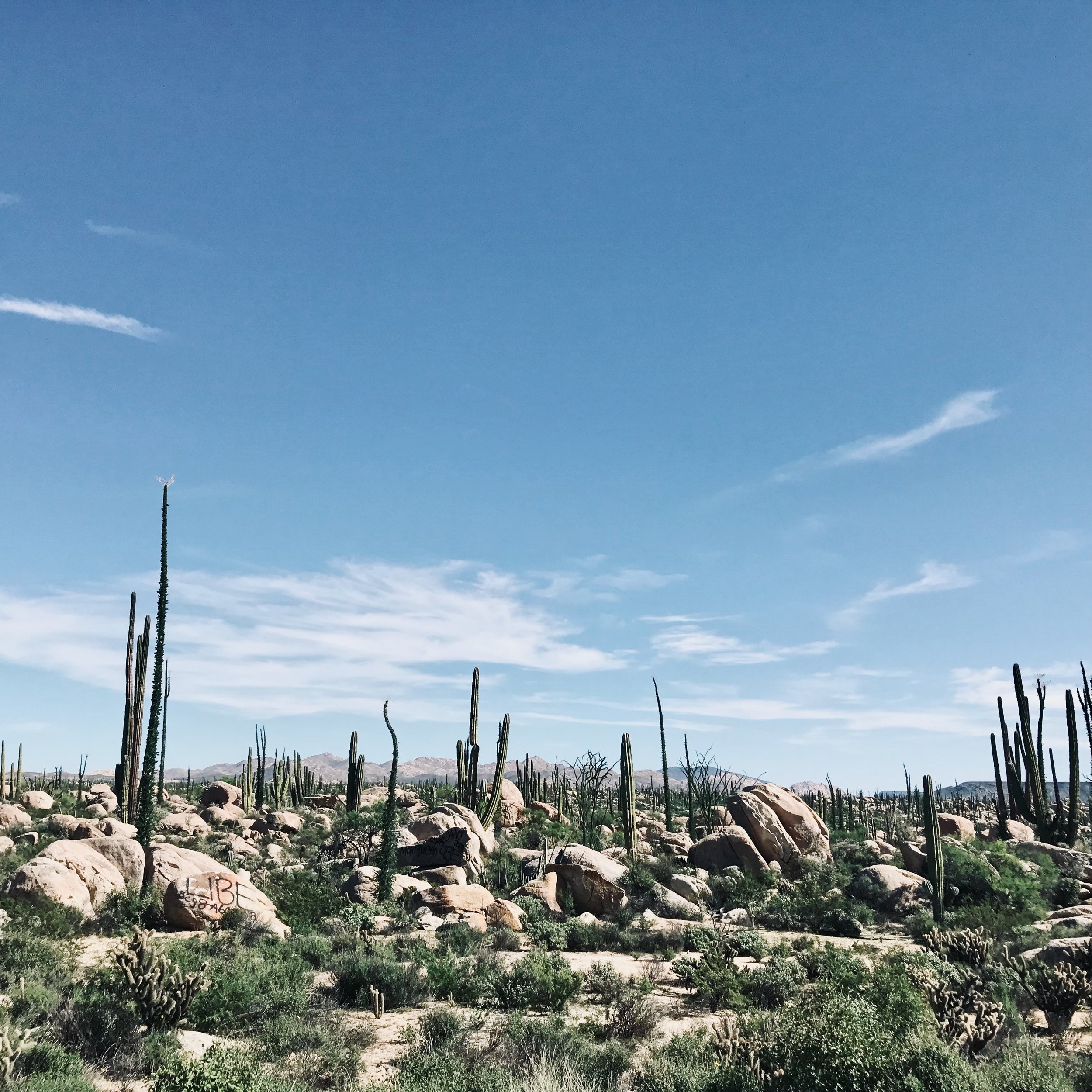
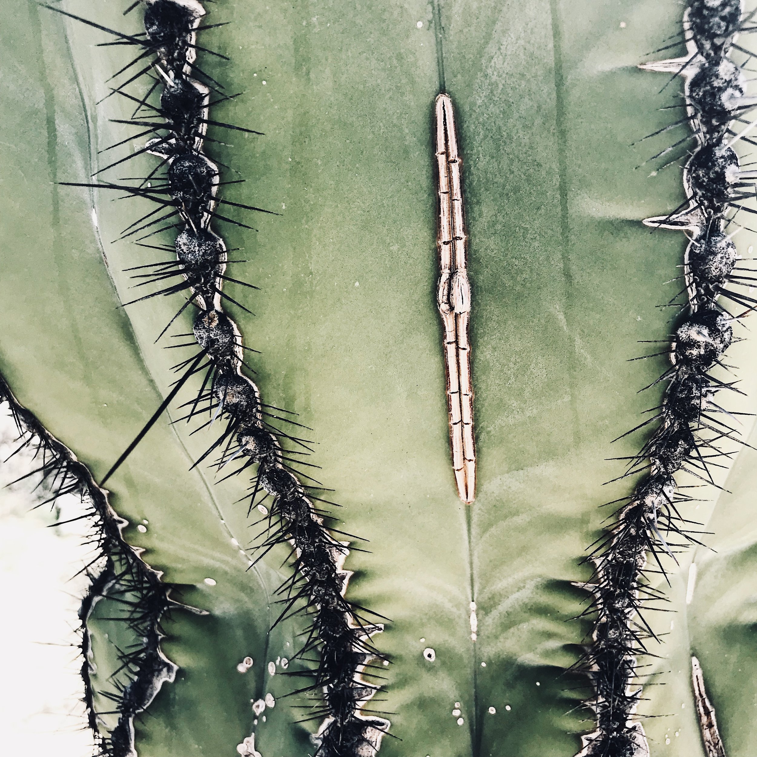
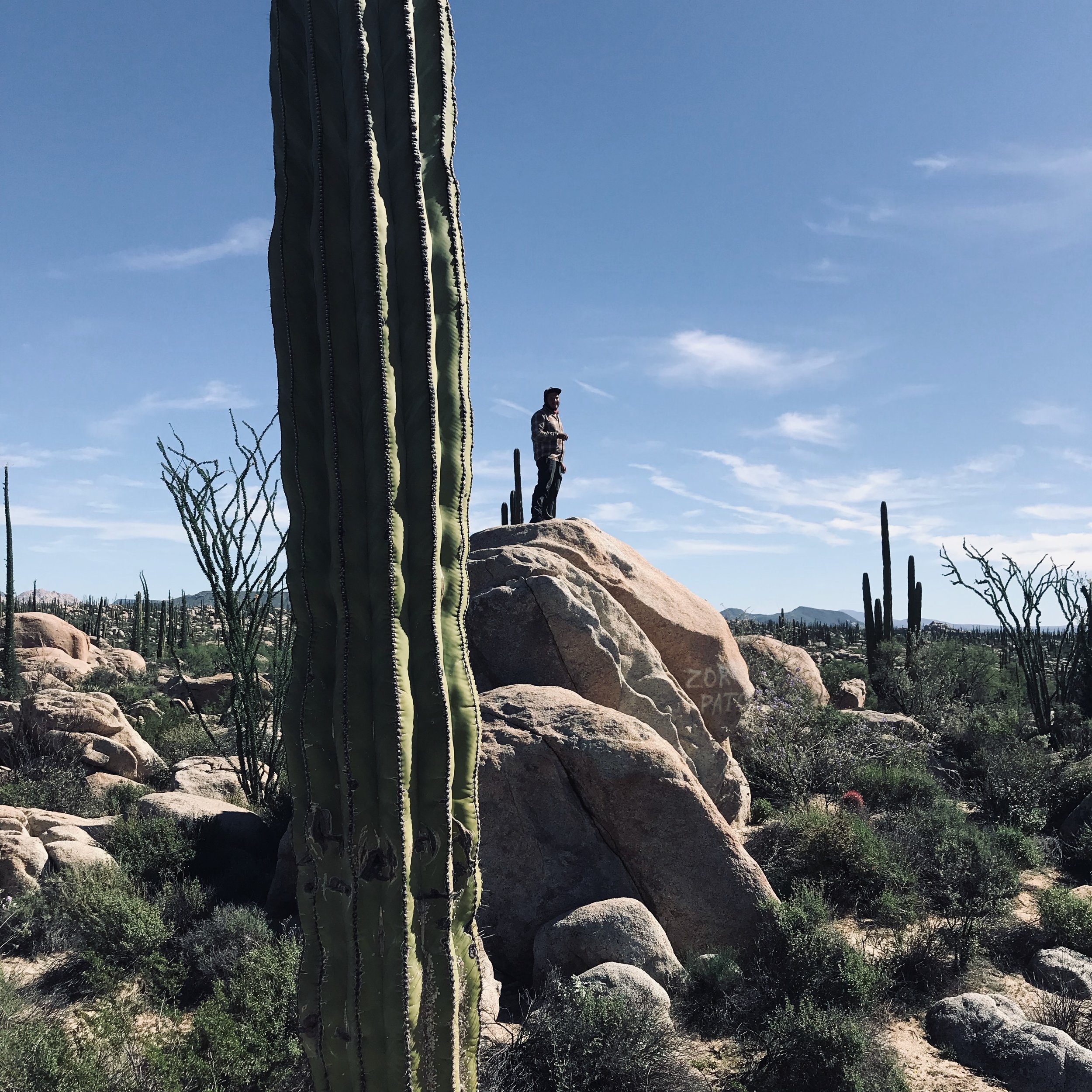
This nights camping was incredible. We slept in a field of giant cacti, and watched the sunset behind the hills.
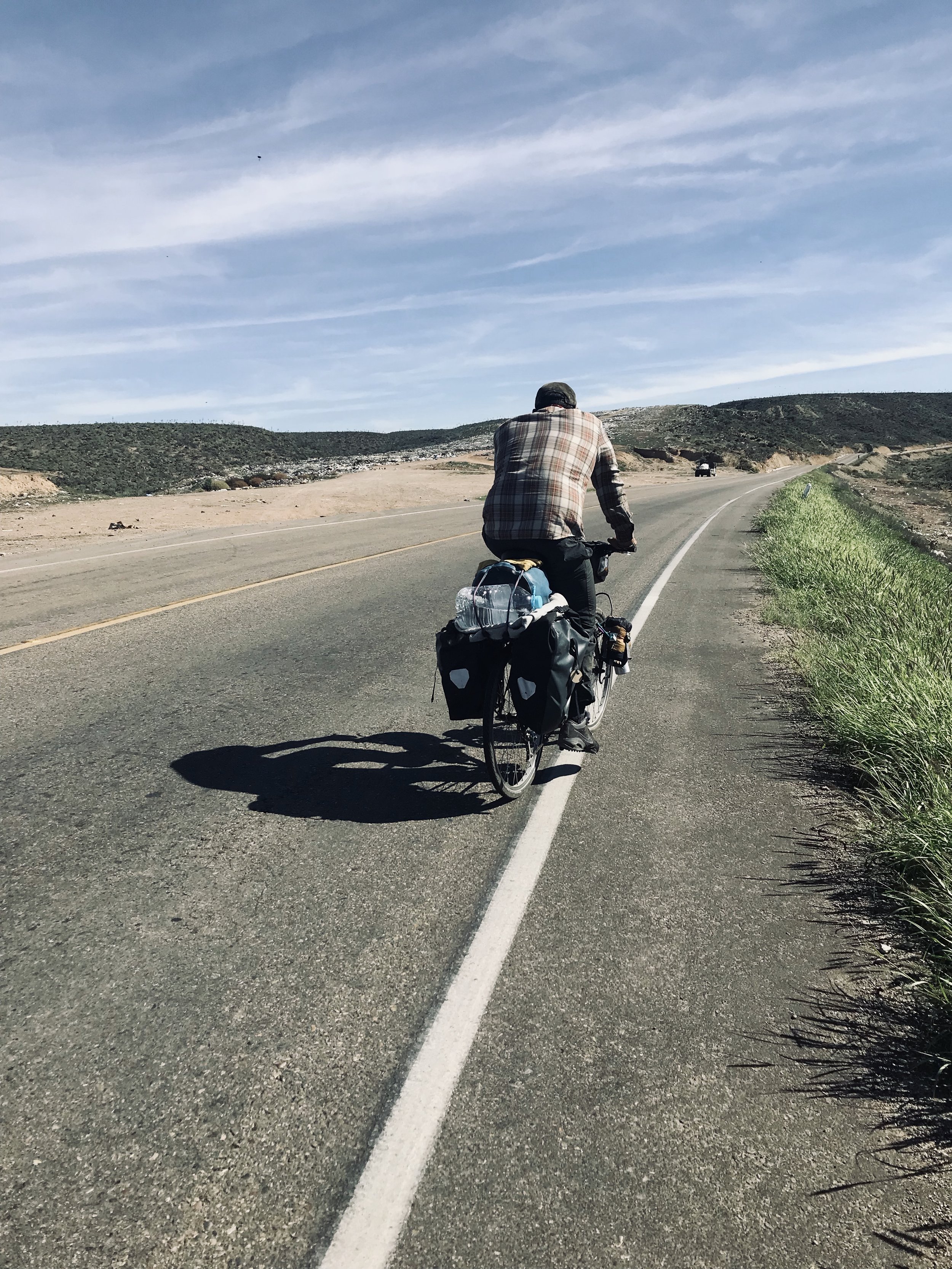
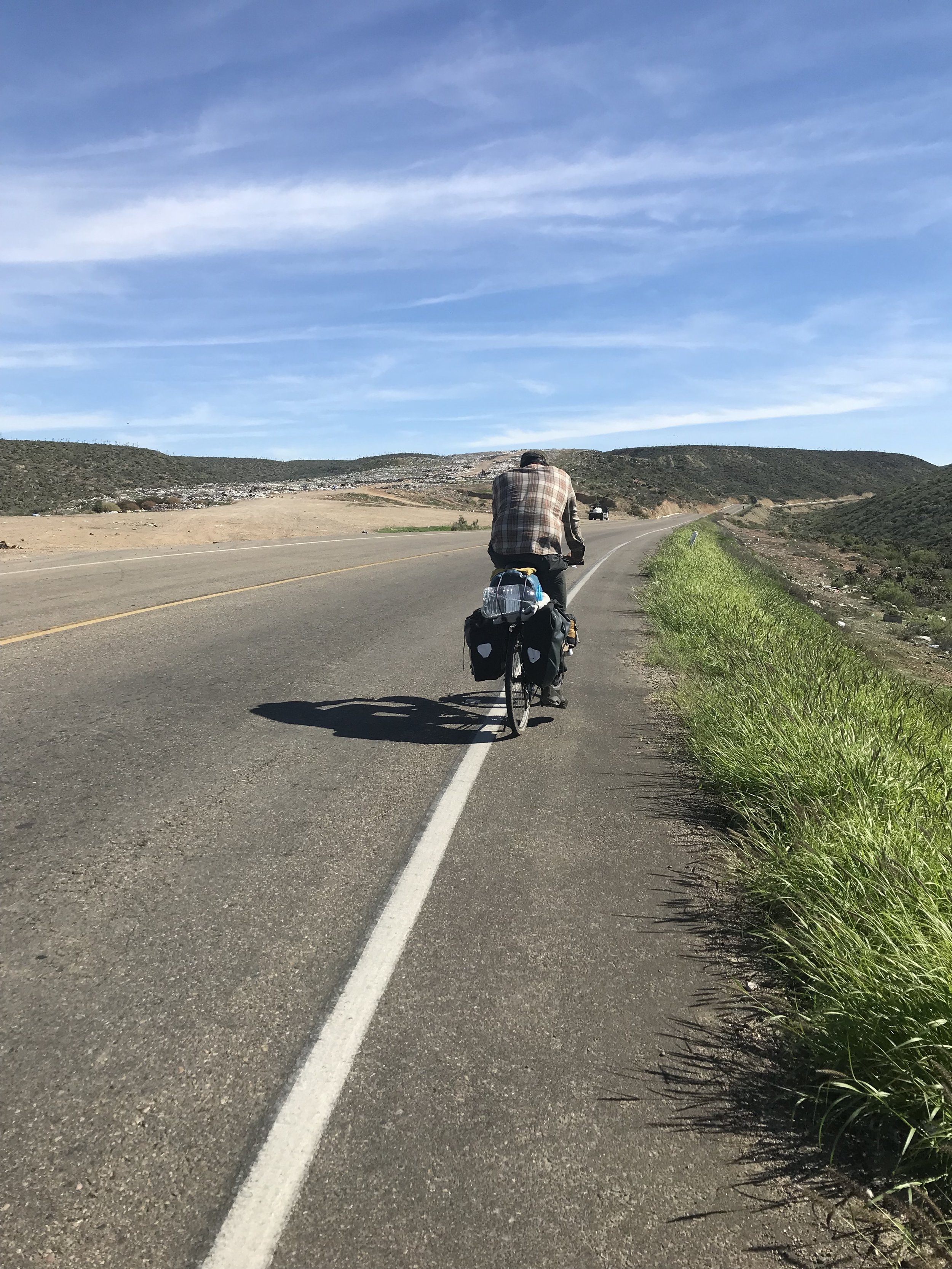
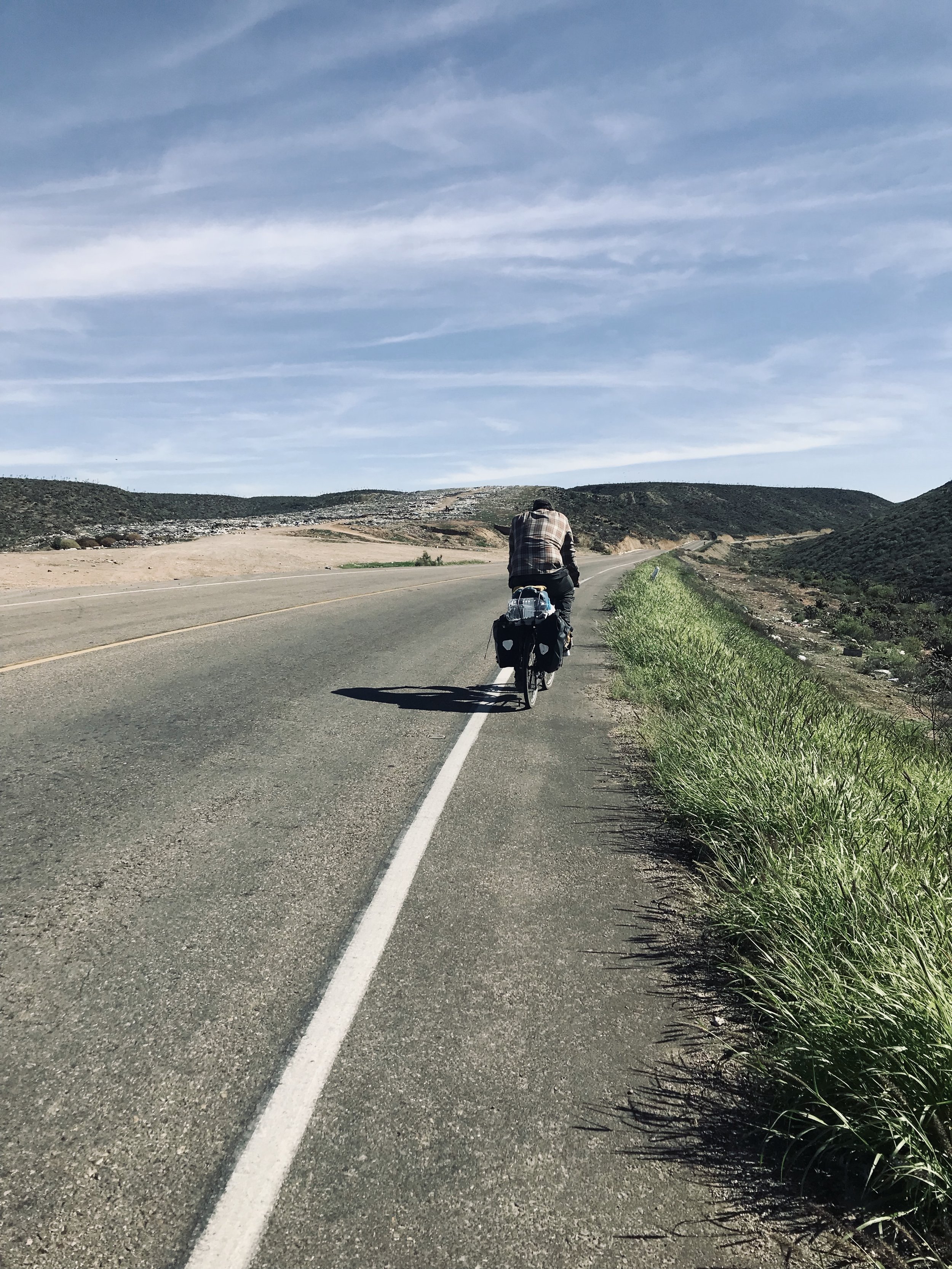
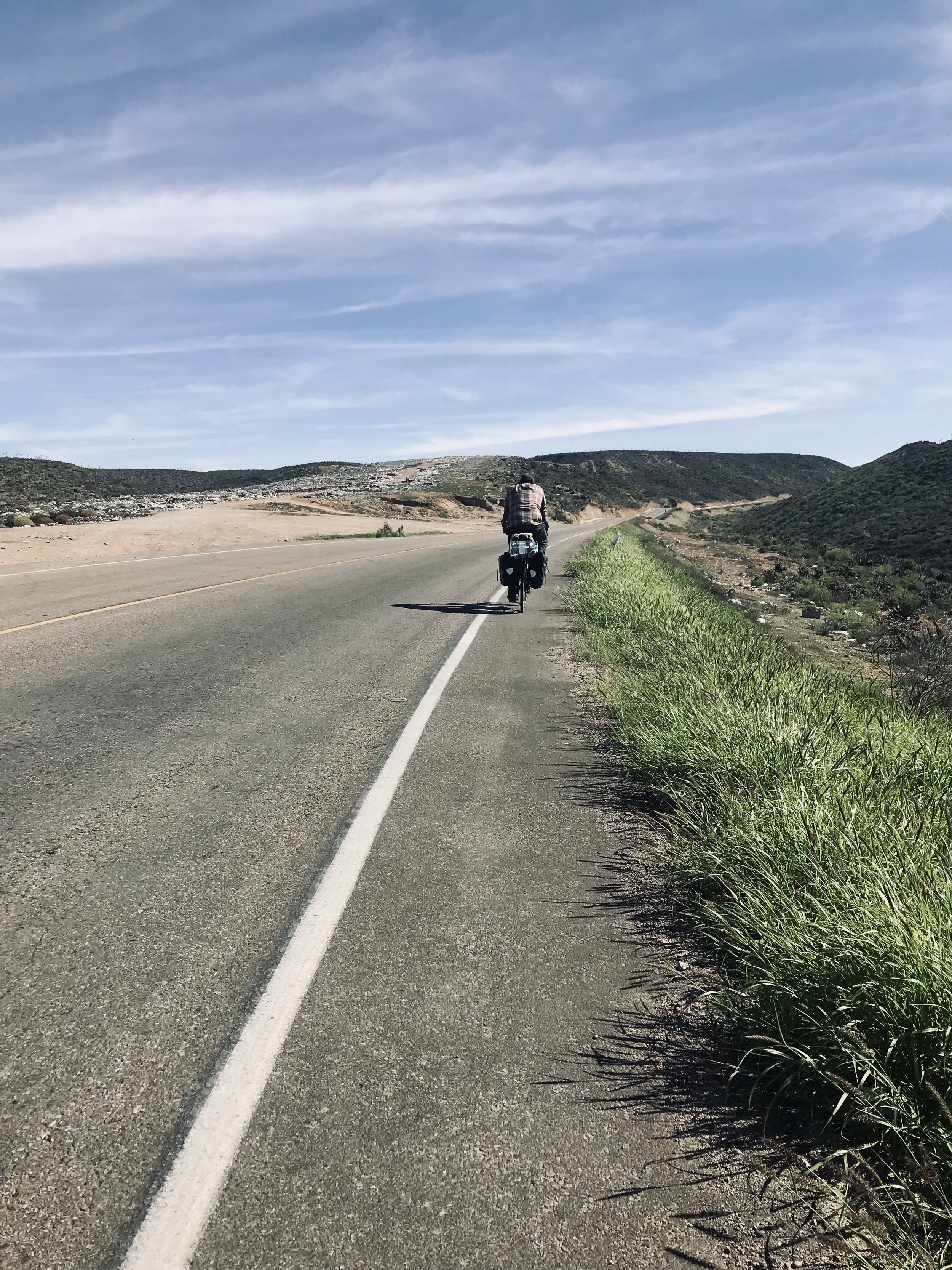
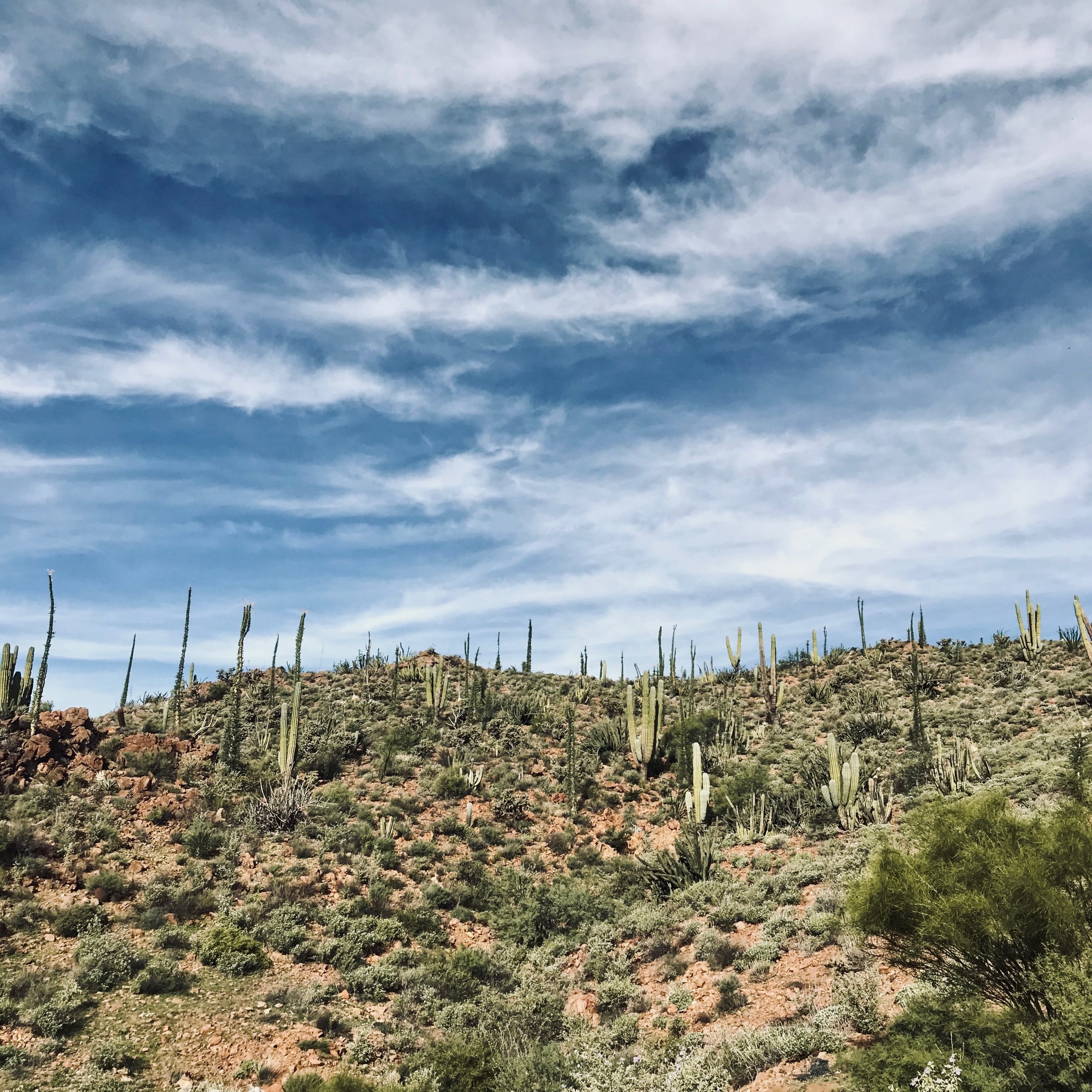
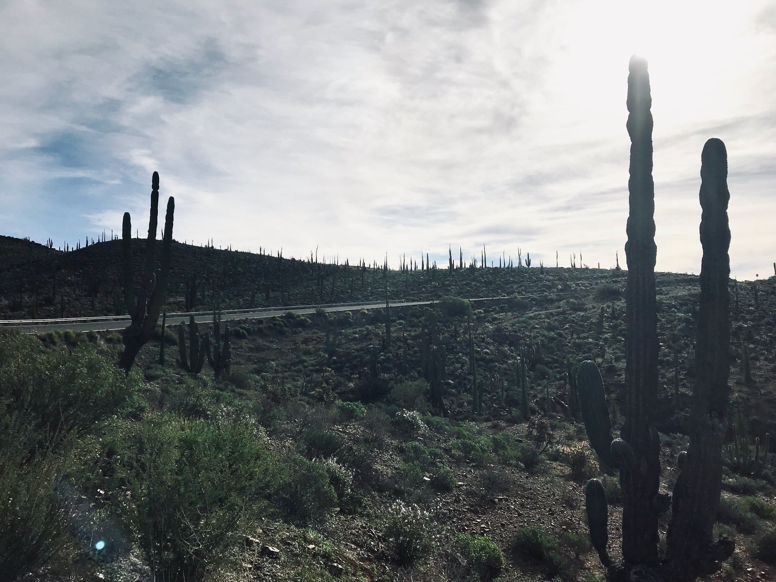
This is it. This is the desert.

Enjoying the tile work of our room in Rosarito
Roadside lunch breaks

The purple sky
The Middle of Nowhere to Catavina 70 km (but actually the middle of nowhere again 100km)
We camped just 10 km ahead of a roadside stop, El Descanso. Here we were able to refill waters and just a little further down the road we stopped for some delicious and very cheap burritos at Cafe Restaurant Helyken. The couple who owned the place were lovely. We passed some time here, playing cards and drinking coffee.
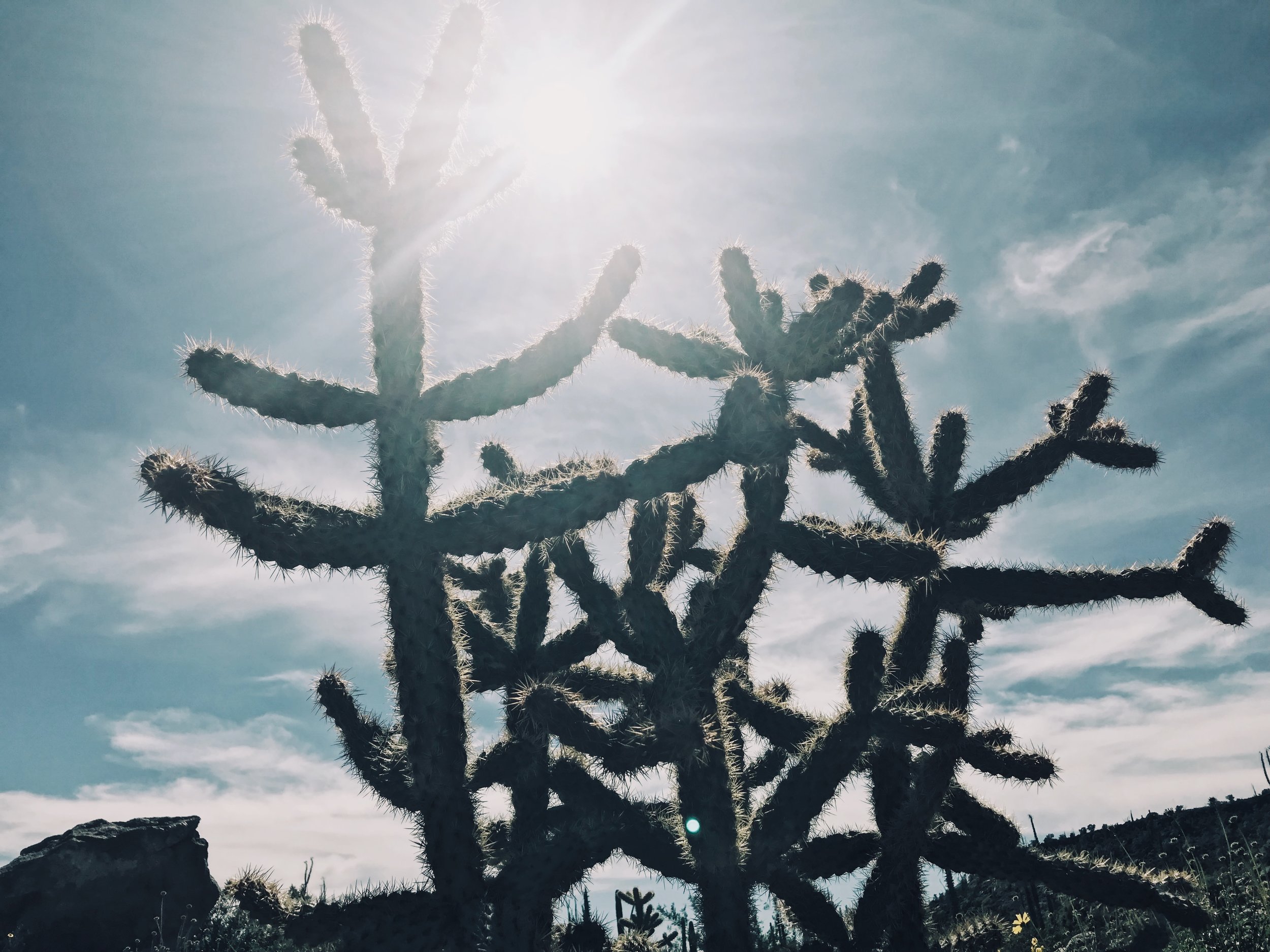
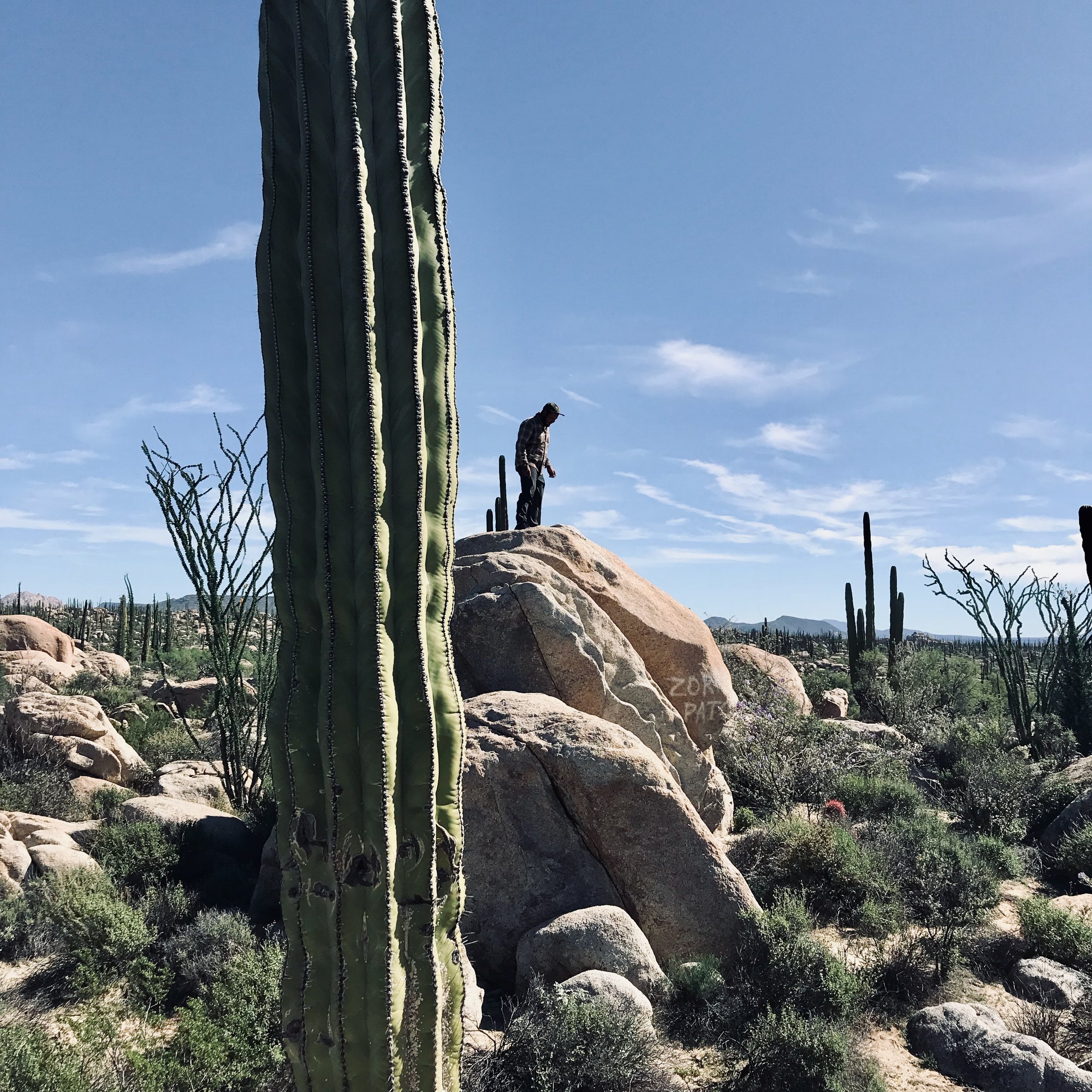
The road continues to be quite hilly, but the scenery becomes incredible. Boulders stacked upon boulders and giant cacti; it’s all very interesting. We stopped many times to admire it all.
Catavina has a small store where we bought our ingredients for dinner. They also had wifi for a fee. I ate a bad sandwich here, which would be my misery for the days to come. There was a restaurant next door and a motel with a couple of rooms.
We continued onwards, about 30 km passed Catavina. There were some decent climbs and also a bunch of cows traveling across the road to watch out for.
Finding a campsite here was a challenge as the boulders quickly disappeared and the landscape became empty and flat. We managed to find a place to set up behind a small hill for the night.
Catavina to Punta Prieta 119 km
Now, I was sick this day, so I remember it being much more horrible than it probably was. But every uphill seemed treacherous. Regardless, there is a decent amount of climbing this day.
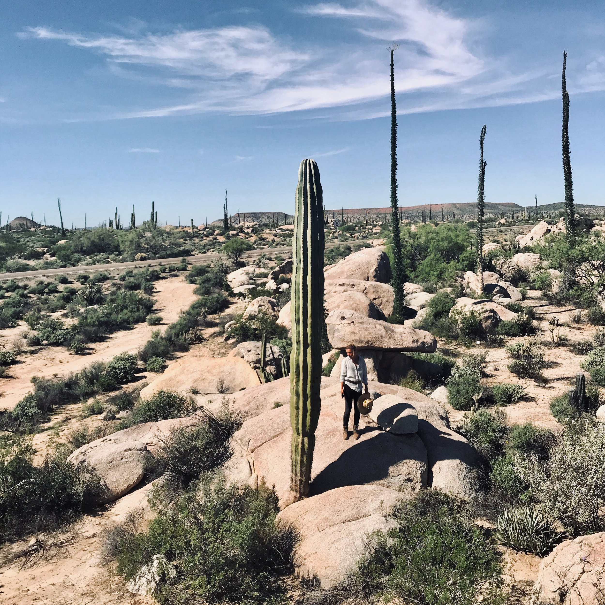
The interesting desert scenery continues. You’ll pass many boojum trees, which I am told only grow in Baja.
About 50 km down the road from Catavina, there are a couple options for food, but there wasn’t much after that until Punta Prieta. The map says there is a market in Punta Prieta but there was nothing open when we arrived. Most of the places to eat were also closed. The last stop before leaving the small town was open however, and we were able to grab some food here. They also had wifi for a fee.
There is no where to stay in Punta Prieta, and our plan was originally to keep going another 10 km to find a campsite off the highway. We had a small mishap here, however… with a tope (speedbump), a downhill and a bike all of a sudden out of service. We ended up catching a ride that night to Guerrero Negro for a much needed bike mechanic.
WATCH OUT FOR UNMARKED TOPES ON THE ROAD! Sometimes they are in the strangest of places.
Punta Prieta to Guerrero Negro 122 km (or an hour drive for the hitchhikers)
Just a little note here, that if you run into trouble, the people along the highway are generally very kind. People were more than willing to help us out. We especially had luck with the semi drivers. As one man said, “People on this highway, we look out for each other.”
You should be able to hitch a ride in little time, unless of course you’re a group of 3, in which case it may take a touch more patience and you may have to take your bike wheels off to fit three bikes, plus gear, into the very nice man’s car.
I apologize for not having information on actually biking this part of the route.
Guerrero Negro is a big enough place to have everything you could need. We took a rest day here. The road into town in where you’ll find all of the motels. We stayed at the first one on the right, as it was the cheapest and rates went up the further down the road we went. The fish tacos sold on the street throughout the day are delicious. There are several laundry places, and if you find yourself in need of a bike mechanic, go to the market and ask around. That’s how we found him. He was very kind, and welded us a whole new bike piece for a good price.
Guerrero Negro to El Marasal 78 km
This was an easy day back on the bike after the day off. It was an extremely flat ride and we got to El Marasal earlier than expected. There were a few places to stop on route but we grabbed our food before leaving town and stopped again at a cafe in Marasal.
Marasal is where we experienced a variety of oranges that I had no idea existed. There was a very nice man selling them on the side of the road. I hope you come across these, as they were delicious, and make for a good road-side snack.
Town had a supermarket, water refill and restaurants. There were also places to stay here. We went about 5 km out and found a place to camp under a tree. This was definitely someone’s party spot, but no one bothered us for the night and it made for a good place to cook dinner.
El Marasal to San Ignacio 72 km
We got going a bit later than planned this day, due to an usual fog. We were getting closer to the coast again, and we could feel it in the air.
The day continues quite flat for the first half, and gets a bit hillier closer to San Ignacio. There was a place to grab lunch and coffee about half way.
We didn’t actually go into the town of San Ignacio, as it’s about 10 km in from the highway. We did stop just before the turn off at a restaurant called Rice and Beans. We were told by some bikers ahead of us, that they served the best margaritas in Mexico. I can’t say that I agree, but they were refreshing, although overly priced. Food is also overly priced here, but we treated ourselves anyways. The owner was kind, and after a bit of negotiating agreed to let us camp on his property without a charge, on the condition that we ate breakfast there the next morning. He even let us use the pool.
If you do continue past Rice and Beans, you’ll come across a grocery store, a taco stand and a little further past is a place to refill waters.
San Ignacio to Santa Rosalia 76 km
Get ready for climbing. Get ready for an incredible ride.
The day starts out with small ups and downs and then a bigger climb to the volcano. The scenery changes quite a bit as you ride out of the barren desert and come to the rocky coast. The climb before Santa Rosalia is a decent one, and the downhill is stunning.
There were not many places to stop on route, and we had grabbed our food for the day, before leaving San Ignacio.
The few km riding into town are rough. The road is cracked, and full of potholes so be prepared for bumps!
Santa Rosalia is has many options for places to stay and food to eat. I found it to be a very interesting place. It’s an old French mining town, with a fascinating history. The old structures are still standing. There was even an old motel sign advertising that they had colour tv.
We biked around the streets, trying to find the lowest rate for the night. Eventually we asked a man the cheapest place to stay in town, and he pointed us to a humble home that had a couple of rooms to offer. The owners were amazing, and it was 300 pesos if I remember correctly. I couldn’t tell you exactly how to get there, but I remember the house was green, and perhaps if you ask around too, you’ll have some luck.
Also, make sure you go to the bakery and try the bread! Santa Rosalia is famous for their sweet breads!

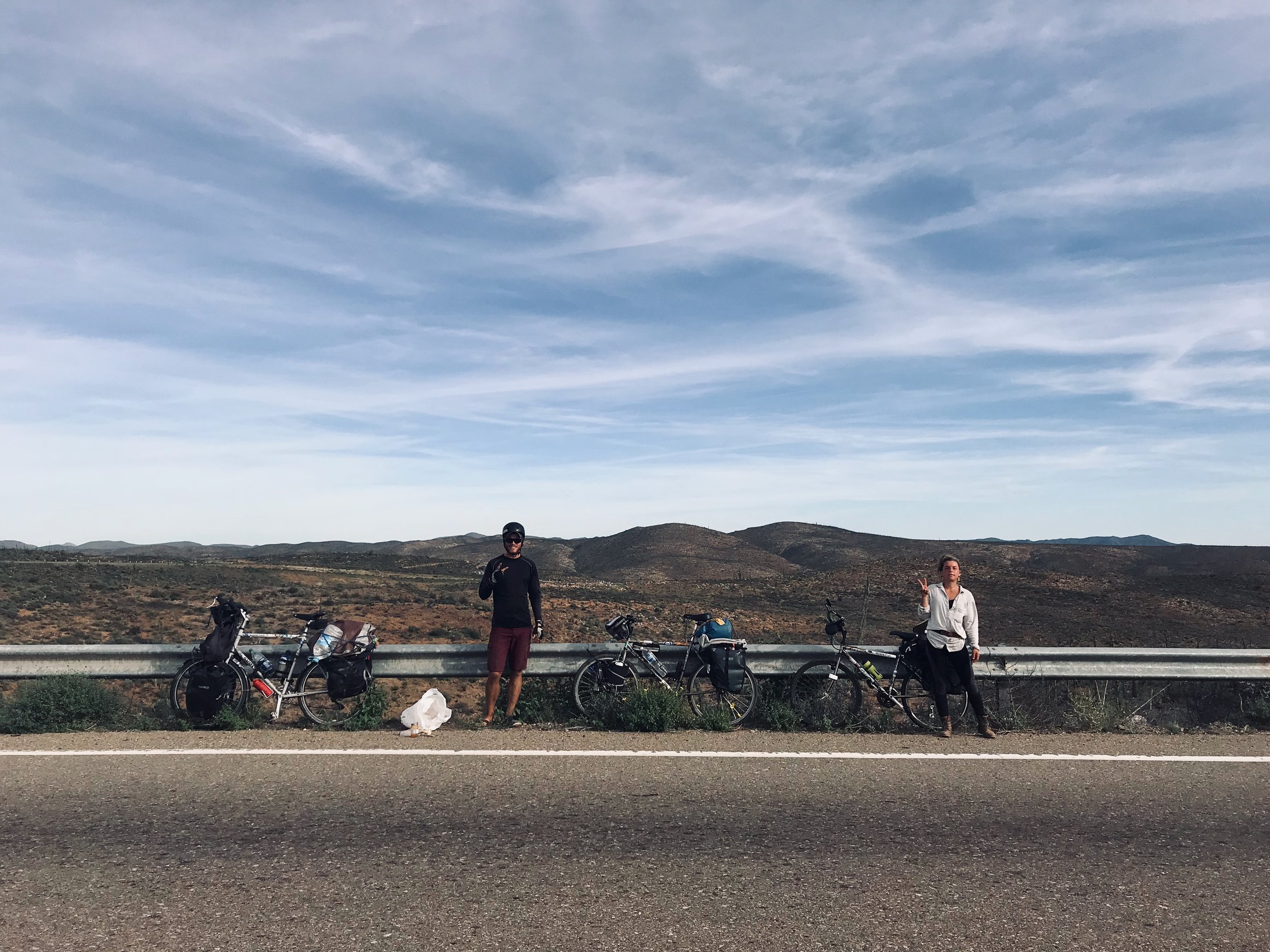
Trying to catch a ride
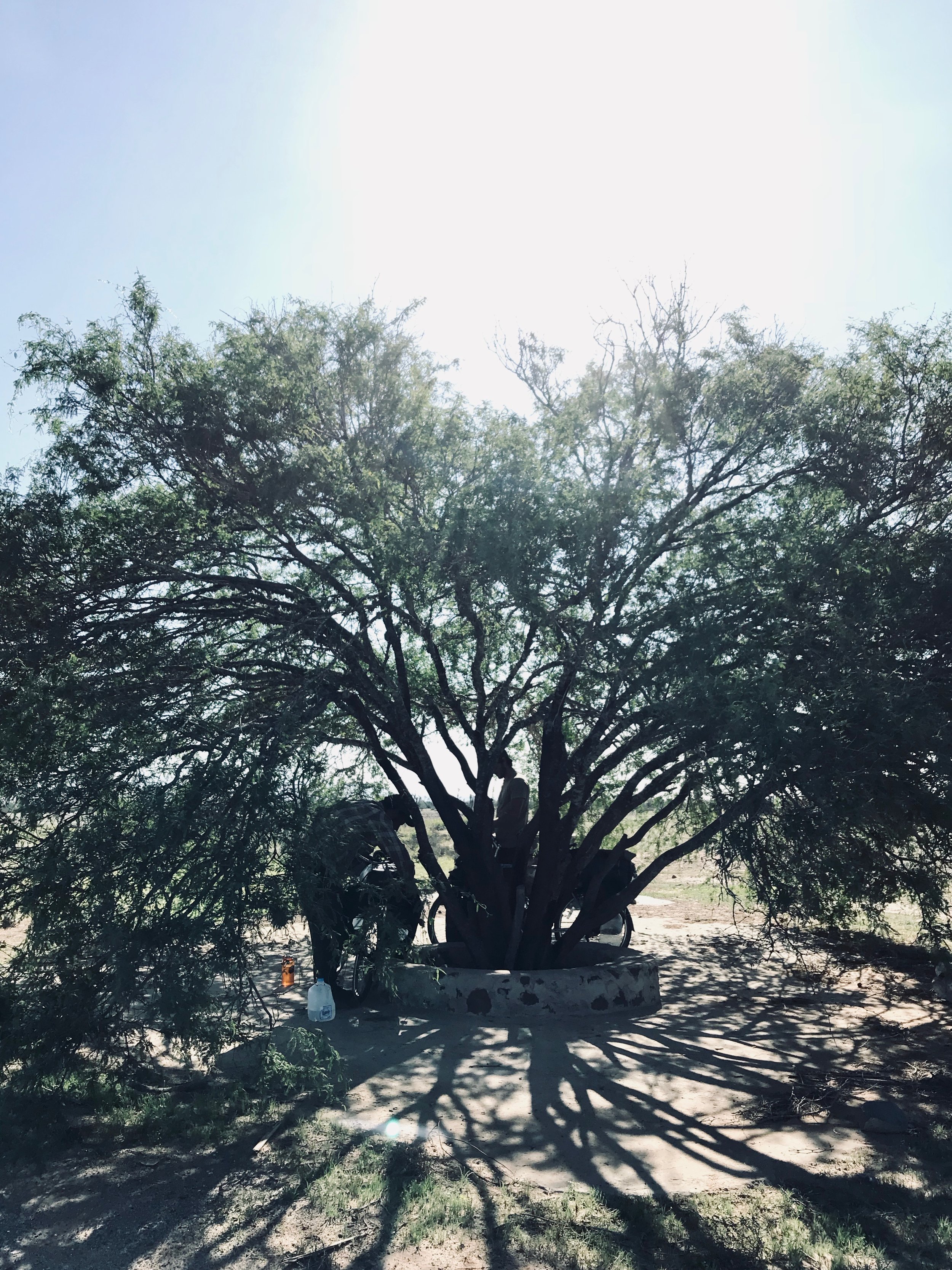
Our tree campsite.

Spanish on the roadside

The old French. mining town of Santa Rosalia
Sanata Rosalia to Playa la Escondida 87 km
This is a day of not too much climbing, but a few rolling hills. There was not really anywhere to stop once we got out of Santa Rosalia until the town of Mulege which was 63 km. I recommend grabbing supplies, especially water before leaving town.
Mulege was a cool town, with a jungle feel to it. It’s nice being under palm trees and hearing the rush of water after so many days in the desert. If we hadn’t been set on getting to to beach it would have been a nice place to spend the night. There seemed to be a lot of places to stay, including camping options.
We stopped for fish tacos at the bottom of the hill, and they were pretty fantastic. Turn left towards the town centre, under the arch, and you’ll come by a supermarket and water refill all in one!
GRAB SUPPLIES HERE so you can spend a couple nights on the beach!
El Bahia de Conception
Playa la Escondida is the third beach you’ll pass along Bahia de conception. Playa de Narjanjos is first, which I wouldn’t bother with. Next, you’ll pass Playa Santispac, which has more of a party vibe to it. There are little palapas you can pay to use for beach camping for the night, and a bar right in the middle of the beach, with apparently great Pina coladas. We didn’t stay here, but I’ve been told the music goes until quite late and it may not be the best play to get a good night’s rest.
We kept going to Playa la Escondida, which is a little hidden as the name suggests, but also on most maps, so easy to find. You’ll have to go down a dirt trail to get there but it’s only about 5 min in. We spent a couple nights here, and it was really nice. The snorkelling is incredible. Watch out for sting rays and scorpions along the beach. Also, if you’re sitting on the sea shell shore at night, and happen to look closely, you’ll notice the whole ground is alive and crawling with little bugs. Don’t worry, they’re friendly.
If you have any fishing gear, you’ll be able to catch your dinner here. And if you’re lacking is fishing gear, perhaps you’ll make friends on the beach, like we did.
Make sure you don’t miss the starry night sky! And also be informed that it does get quite windy here. Playa La Escondida is one of the more sheltered areas.
There are many good beaches to camp at along the Bahia. When we continued down the road, I saw a couple that looked like beautiful places to spend time. One that stands out to me was Playa el Requeson.
Playa la Escondia to Loreto 112 km
The road stays along the coast for a while, continuing with the usual costal rolling hills. The ride is beautiful. Just 5 km up, from the beach we stayed at, was a store to grab some food, but other than that, there was no where to stop.
There is a decent climb before the road flattens out for about 50 km and then begins rolling again coming into Loreto.
Loreto is another larger town. You’ll find everything you need here. There is a campground in town that some friend’s of ours stayed at, but we chose a cheap motel for the night.
Loreto to Somewhere Passed the Giant Climb 100 km
Hello giant hill! Can I just start by saying, that when you think it’s over, it is not over.
Between Loreto and Ligui, there are numerous places to stop for food and water but Ligui is your last stop until the top of the hill. Once you’ve passed Luigi, the climb begins, and it is the biggest climb of the whole route.
At the top (maybe, hard to say where the top is, but when the most of the climbing is over) you’ll come to Restaurant El Paraguito. Gorge, the owner, is super sweet, and if we hadn’t had a deadline, we would have spent the night in the couple of rooms he had to offer. He made us fresh fish tacos and coffee.
About 10 km past Gorge’s place, at the bottom of the hill, there is a stand selling snacks and water. We grabbed some stuff here and found a place to camp for the night, which is where we saw our first trantula. It was exciting to say the least.
Somewhere Passed the Giant Climb to Ciudad Constitucion 89 km
The road into Ciudad Insurgentes was straight and flat. Actually, it’s a very, very slight downhill, and it was a fun way to start the morning. We had about 50 km to go until we got into town, where we stopped for lunch, refilled waters and continued along the road to Ciudad Consitution. Here we grabbed supplies for the night and set up camp about 10 km out of town.
We found a spot behind some bushes where no one bothered us, but we did have to cross a fence.
Ciudad Constitución to Guadalupe 120 km
Another day of mostly flat road. There is no where to stop until 50 km in Santa Rita, and then again in Las Pocitas. Las Pocitas didn’t have much. There was an Oxxo and a couple taco stands, but they both closed early. We stopped here for a couple hours to wait out the heat of the day.
We kept going down the road and came to a very small town, which on the map seems to be called Guadalupe. We didn’t veer off the highway at all. There was a cafe, and a grocery store. We asked the cafe owner if we could camp on her property, but she said no and pointed us towards the church. We set up there for the night.
We were able to grab breakfast close by the next morning.
Guadalupe to La Paz 90 km
This was an exciting day for us. This was the day of 4 flat tires.
Our church campsite was filled with these dried cactus-like plants that I had run my bike through, resulting in little thorns all through my tubes. We ended up stopping about 20 km in, at a little store, and spending a couple hours trying to remove them all. By the way, there is a little store 20 km in.
We didn’t stop anywhere after this… except roadside, to fix more flats due to missed thorns.
The road gets quite hilly as your get closer to La Paz, and at the time that we rode through, there was an awful lot of construction, which meant biking through sand, which slowed us down.
As you approach the outskirts of La Paz, there are lots of places to stop and grab anything you may need. The traffic was a little crazy heading into the centre of town.
La Paz is a city, with a touristy downtown and a nice walkway along the water. There are many places to stay, for all price ranges, and many options for food.
We took a rest day here, and said goodbye to our friend Nate, who was catching the ferry to mainland Mexico. There is a ferry going across daily, if this is where your trip is headed. Most people take this route. And although I’m yet to bike it, I only hear good things about how beautiful the pacific coast of mainland Mexico is.
La Paz to Los Barilles 120 km (105 km if you stay on the 1)
This was the hardest day for me. There was quite a lot of climbing.
We were told to get off the main highway and take the road to San Juan de los Planes, and then cut south to San Antonio. I believe this route is hillier with more curves, but less traffic. It was definitely beautiful, but I recommend starting as early as possible.
San Juan is 50 km from La Paz, and the turn south is just before town. The road out of La Paz was a lot of rolling hills and took us much longer than expected. There was no where to stop for most of this way. We grabbed our food for the day before leaving the city. Just before San Juan is an incredible straight downhill. I think it’s my favourite the whole route. You can see the coast as you descend from the top.
At the bottom of the hill, there is a store with snacks, but nothing major, and then a little farther down the road, you turn right and head south. The road gets hilly here again.
San Antonio is 24 km from here, and is a cute little village. We didn’t stop, but there are places to grab food.
Leaving San Antonio you’re in for a couple more big climbs and then it’s all downhill to Los Barilles, which is a little sandy gringo town where everyone gets around in ATVs. The beach here is lovely, and if you’ve been having a craving for American food, you’l find your papas fritas and you hamburguesas. Galeria Cafe Los Angelas is a nice place to eat, serving locally scored traditional Mexican food. There is also a resort you can probably wander into and make use of the pool … guilty.
Los Barilles to Cabo San Lucas 110 km
A few small hills, but not too hard of a day. There was tons of options for food and water on route. As you come into Santa Anita the traffic gets heavier. And the closer you get to Cabo San Lucas, it all becomes remenicent of Tijuana.
We ended up spending a week in Cabo, but I should warn you, it’s quite the touristy spot. It’s a lot like Cancun, with loud music, big resorts and drunk foreigners. That being said, there are lots of places to stay including a couple hostels. We used Air B&B.
If I had known what Cabo would be like, I think I would have rather stayed in San Juan, where there seemed to be a little more culture, and better food. If you do find yourself in Cabo, go a bit north of all the touristy streets and you’ll find the cheap tacos you’ve probably gotten used to on the ride. And if you’re looking for nice beaches, there are many in-between San Juan and Cabo that are nicer and quieter than the resort beaches.
There are two airports, one in San Juan and one in San Lucas. My trip ended here, and I flew back to Canada.
Next time, I hope to explore mainland a little more.


Beans and tortillas for lunch!


The flat tire blues

Being tourists in Cabo

Cabo boat rides
Happy riding !

EAT TACOS!
Food to try (because it’s important):
Tacos de carne , tacos de pescado - meat and fish tacos
Burritos
Huevos, huevos rancheros- eggs, scrambles eggs with tomato and onion
Machaca - dried meat mixed with vegetables, usually found in burritos or in eggs
Sopes - known as Gorditas or mammals in other parts of Mexico, an open faced taco, usually with beans and cheese